What Will a Warmer, More Acidic Ocean Mean for American Lobsters? [StoryMap]
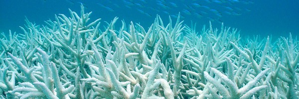
Virginia Sea Grant has created a ArcGIS StoryMap based on a research program looking at the impact of climate change on the physiology of the American Lobster. Content includes background information about ocean acidification, American lobster and the research intself. Embedded in this StoryMap you'll find six classroom activities created by two high school teachers interning in the research lab and focus on ocean bathymetry, ocean acidification, water quality, experimental design, lobster respiration and lobster life history.